2024-02-27T14:40Z
Station latitude, longitude and ellipsoidal height in ETRS89/ETRF2000, map coordinates in the Dutch RD system (RDNAPTRANS2018) and orthometric height in the Dutch "Normaal Amsterdams Peil" (NAP).
Name    Marker              Lat[deg]        Lon[deg]      h[m]               x-RD           y-RD      H-NAP

TUDB    13502-BK       52.0053516684   4.3712616894    51.2856         85243.1868    446818.8337     7.7753
TUDE    13502-EWI      51.9977659634   4.3746754388    62.6439         85465.8084    445971.6542    19.1259
TUDI    13502-IO       52.0009689609   4.3693991301    64.9283         85108.4727    446333.0497    21.4135
TUDL    13502-LR       51.9885288819   4.3765761952    50.8737         85582.0389    444942.2136     7.3465
TUDN    13502-TNW      52.0002316067   4.3745065323    62.3906         85458.0336    446246.1179    18.8751
TUDP    13502-P        51.9965641232   4.3795342778    55.1144         85797.6144    445833.3101    11.5953
TUDR    13502-RG       51.9918316231   4.3805394153    46.2901         85859.3442    445305.8631     2.7662
TUDS    13502-S3       51.9981814196   4.3773260603    59.8007         85648.4714    446015.3399    16.2832
TUDX    13502-X        51.9955469525   4.3750371416    51.8192         85487.2072    445724.4436     8.2990

DELF    13502M004      51.9861172370   4.3875840370    74.3573         86334.4218    444663.4565    30.8279
The coordinates have been computed using RTKLIB V2.4.3 with 7 days of data (31 Dec 2023 - 6 Jan 2024), kinematic baselines with GPS L1 and L2 only, known antenna Phase Center Offsets and Variations (in elevation), with DELF as reference data. The geographic coordinates result from a rigorous least-squares combination. The RD/NAP coordinates are computed from the geographic coordinates using the RDNAPTRANS2018(TM) procedure.
For a full overview of the instrumentation follow the links in the table.


Station latitude, longitude and ellipsoidal height in ETRS89/ETRF2000, map coordinates in the Dutch RD system (RDNAPTRANS2018) and orthometric height in the Dutch "Normaal Amsterdams Peil" (NAP).
Marker       Lat[deg]       Lon[deg]      h[m]              x-RD           y-RD      H-NAP

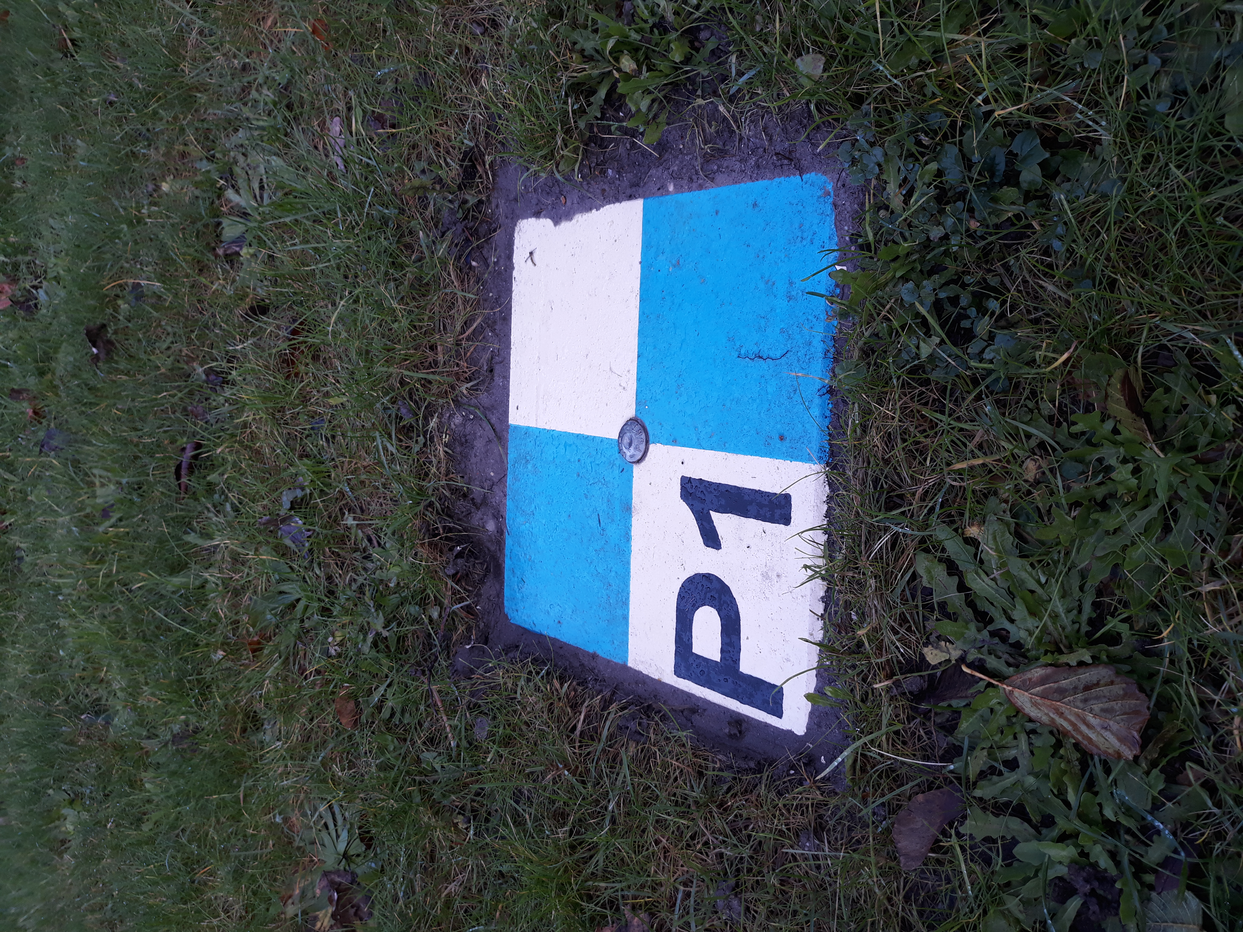
P1      51.9974348556   4.3759735083   42.5528        85554.4351    445933.5768    -0.9655
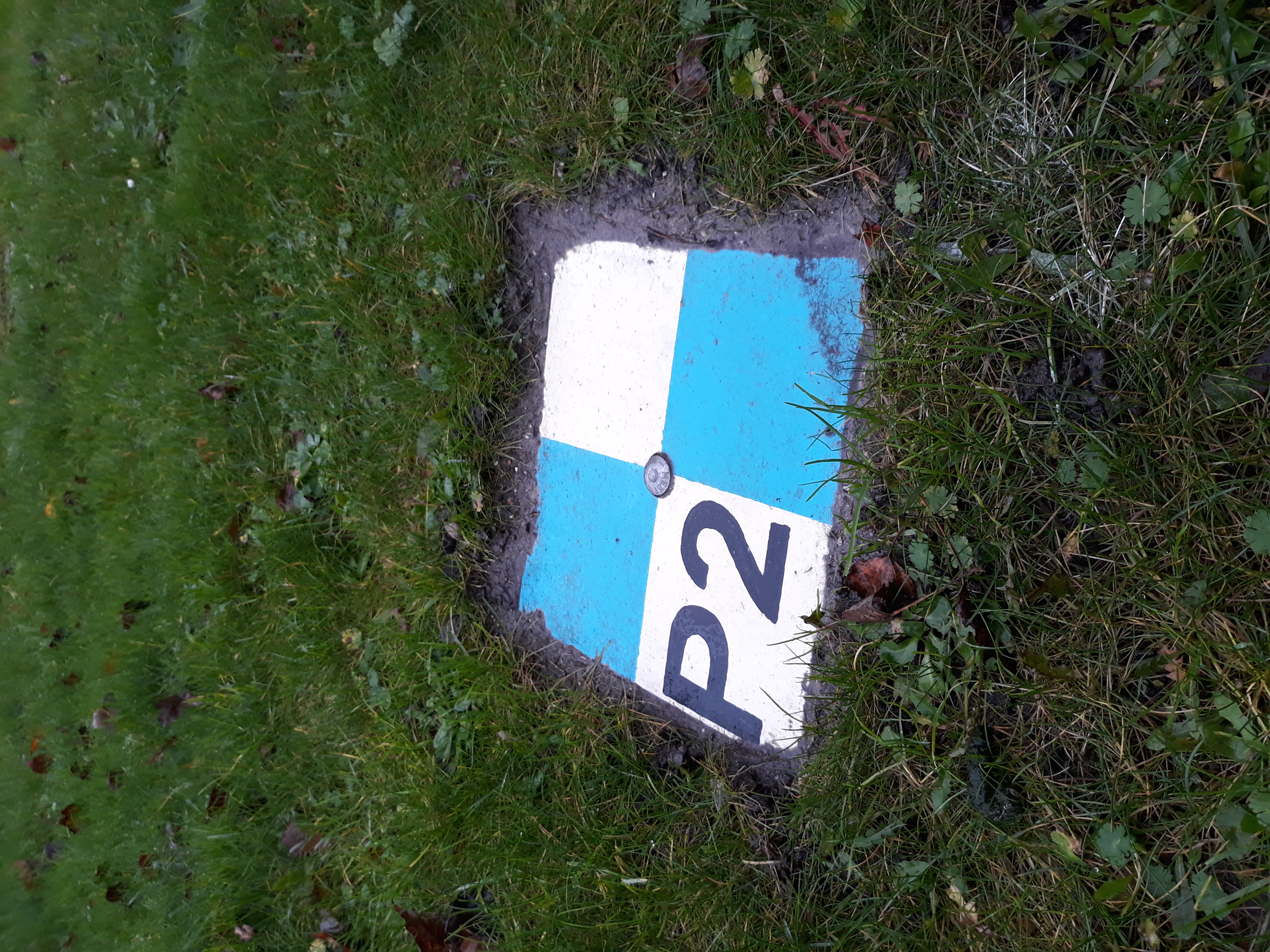
P2      51.9974098944   4.3759798694   42.5616        85554.8333    445930.7938    -0.9567
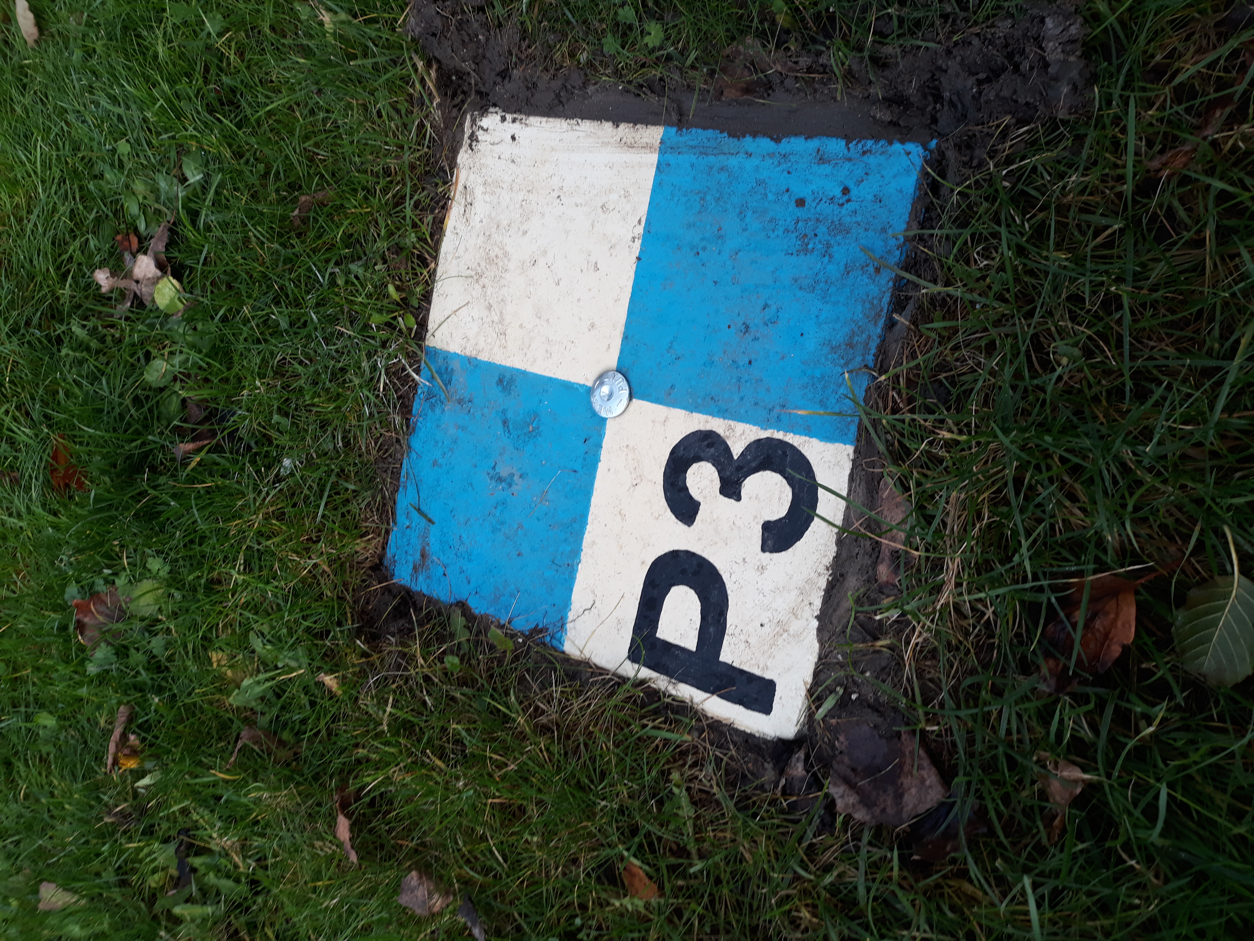
P3      51.9974059000   4.3759400305   42.7523        85552.0913    445930.3875    -0.7660
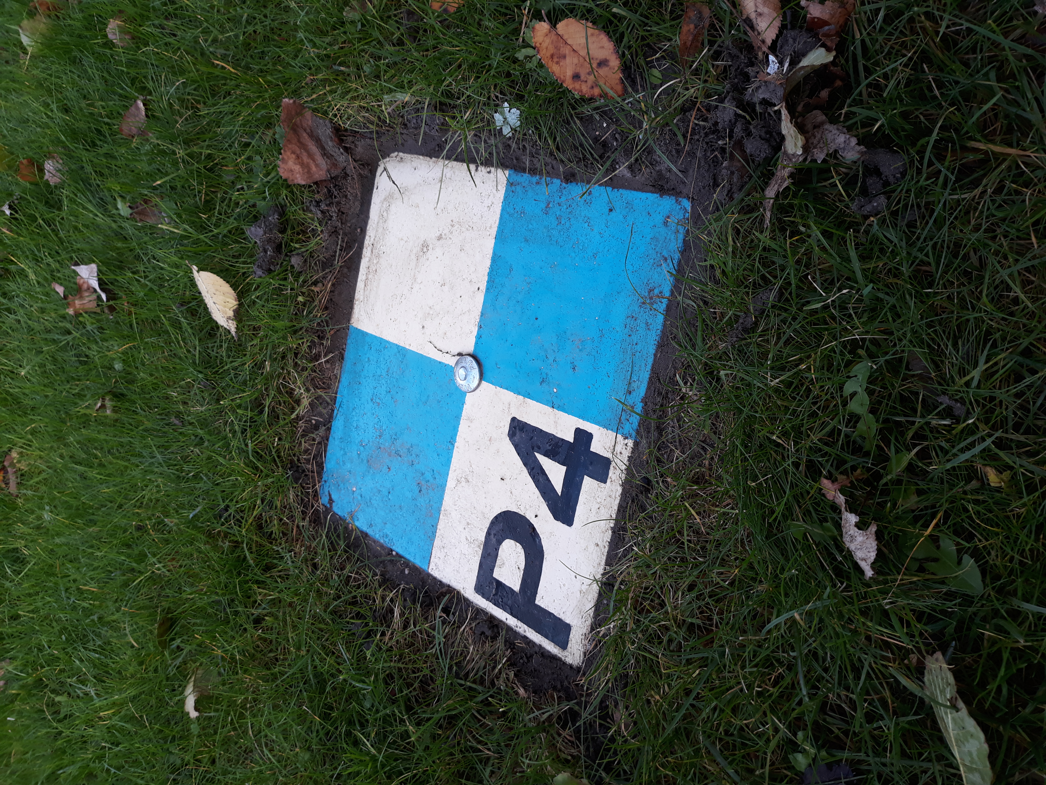
P4      51.9974360083   4.3759320222   42.7273        85551.5880    445933.7447    -0.7910
The coordinates for the passive markers have been computed using a 1 hour survey with a Trimble R7 GPS system and Zephyr Geodetic antenna on a tripod. The data has been processed using the NETPOS SSR-POST processing service. Consistency with the baseline solutions for the CORS stations has been checked by processing one day of CORS data with NETPOS, with good agreement between both types of solutions.