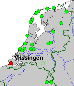
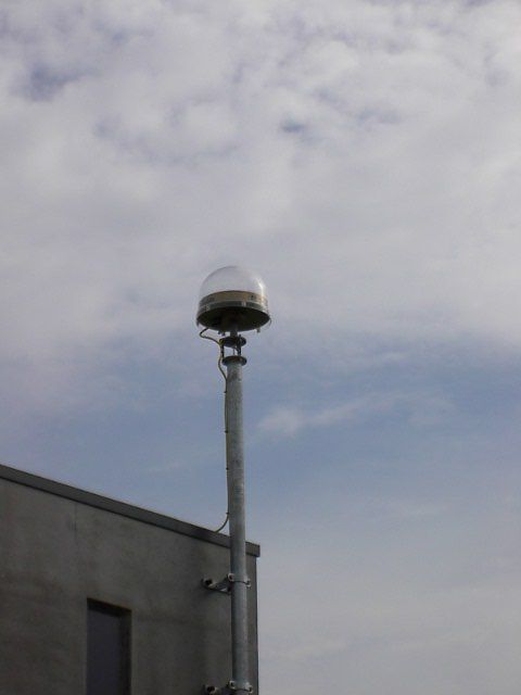
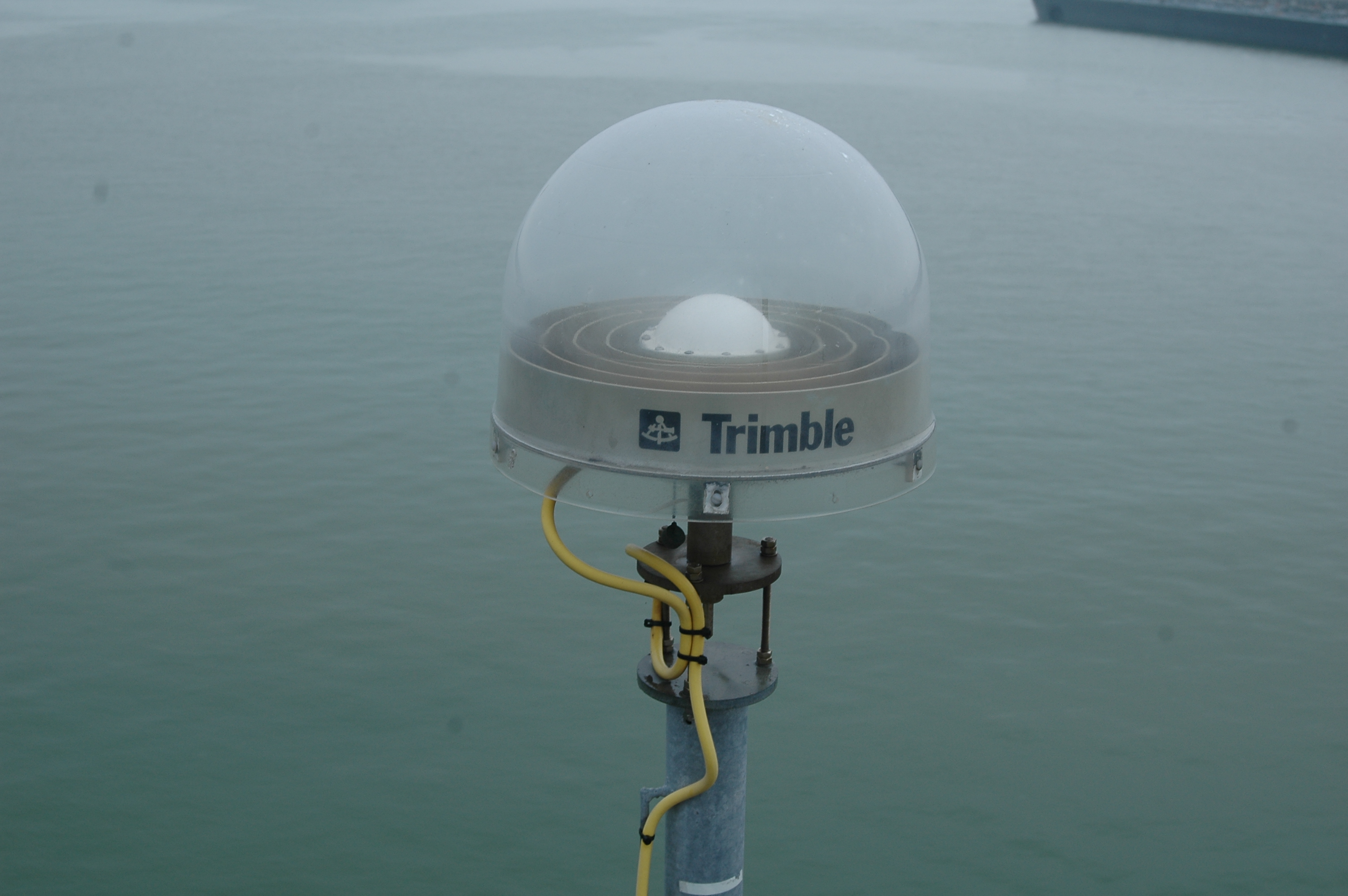
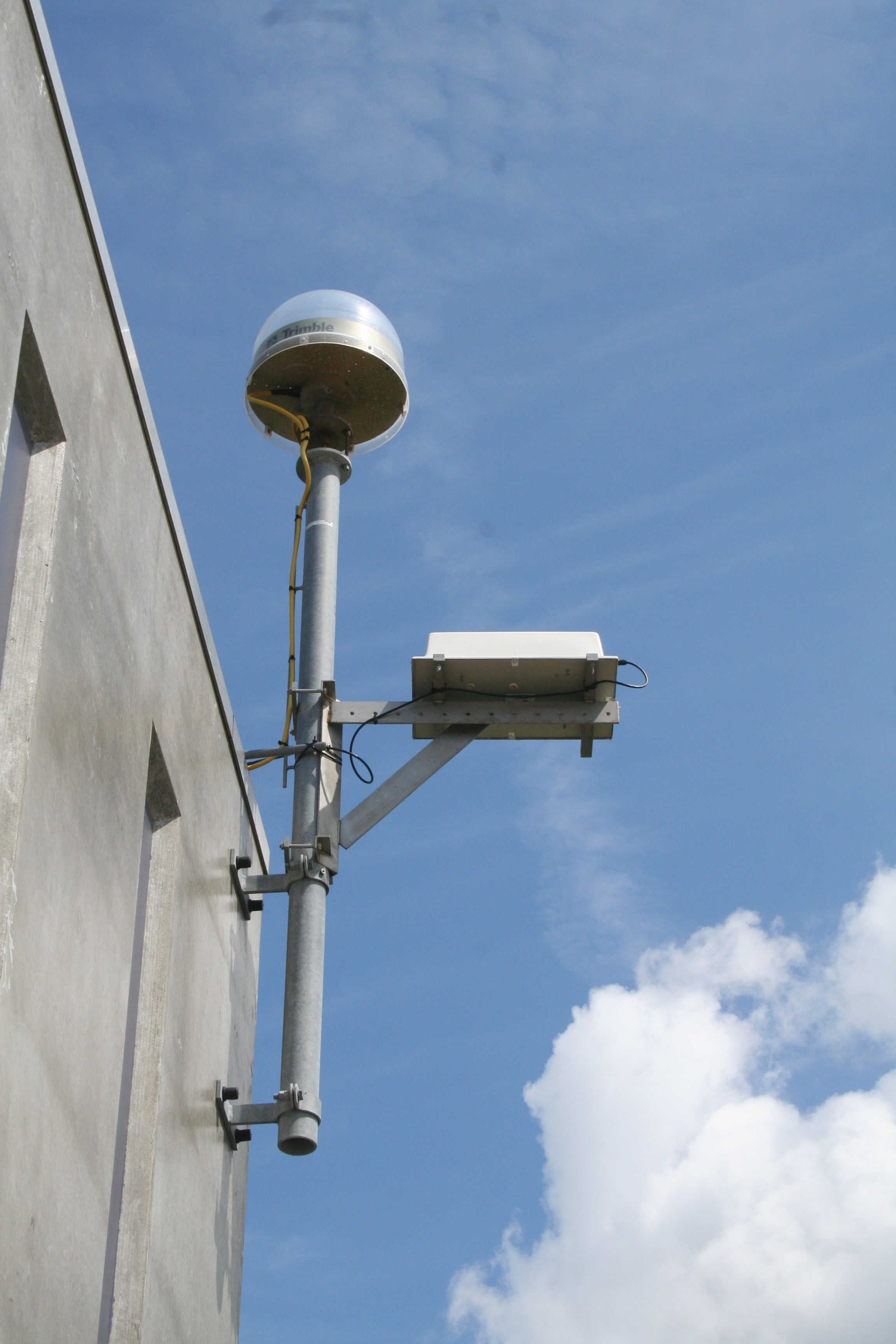
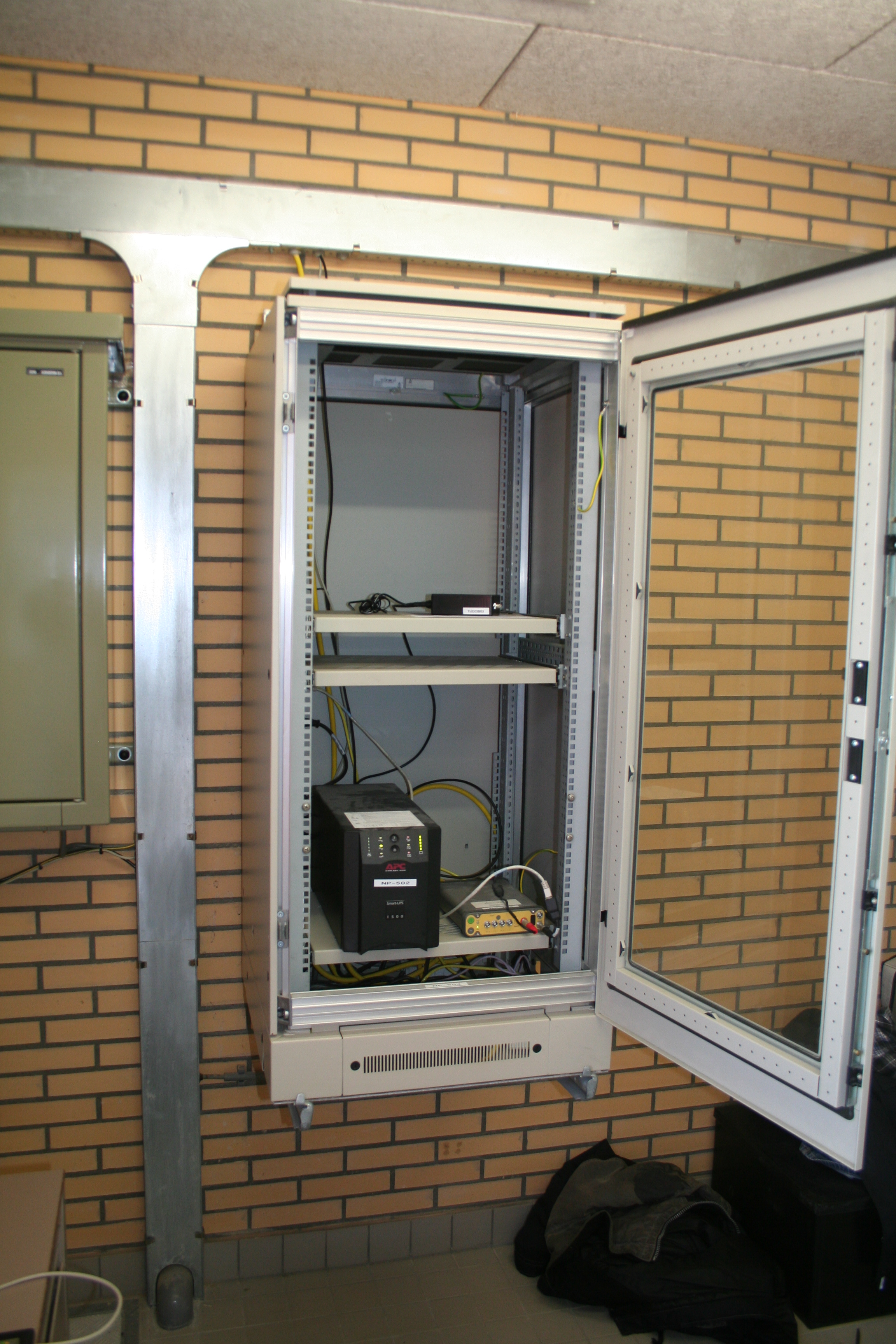
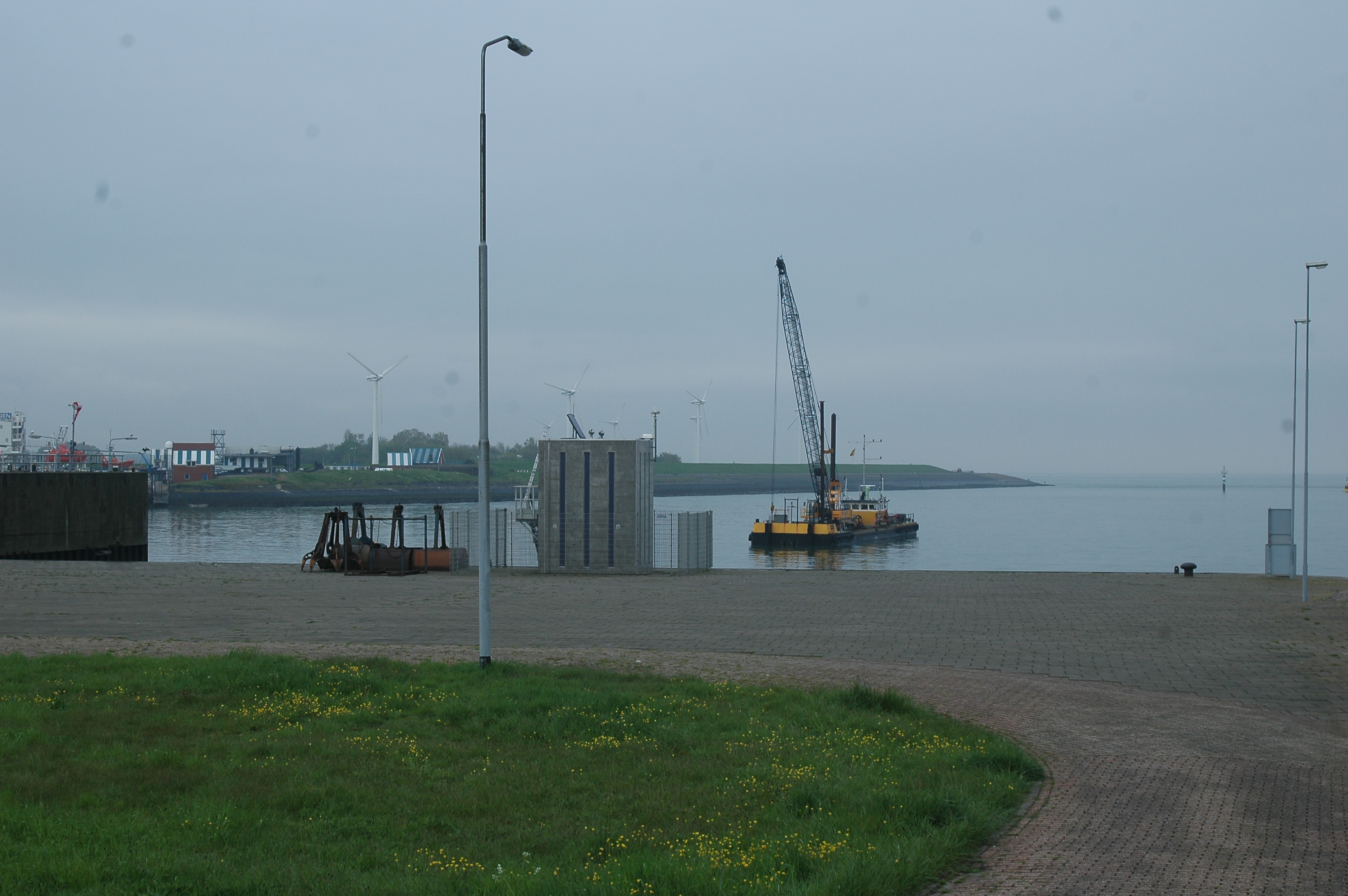
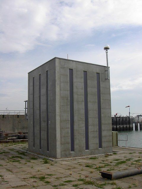
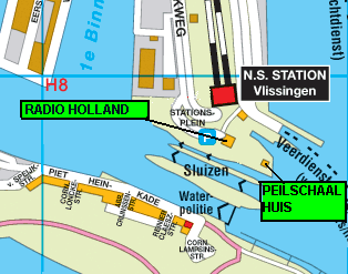
Tide-gauge station Rijks Instituut voor Kust en Zee (RIKZ), Vlissingen, The Netherlands.
On-site contact: AGRS.NL team, Kadaster, +31652481939
GNSS Instrument(s)
| Name | Marker | Receiver | Antenna | Operator | Network | Start date | End date |
|---|
| vlis | 13538M001 | LEICA GR50 | LEIAR25.R4 | NSGI | EPN,AGRS.NL | 2006-11-22 | |
Markers
| ID | Name | dX | dY | dZ | Instruments | Installed | Removed |
|---|
| 13538M001 | | 0.0000 | 0.0000 | 0.0000 | vlis | 2006-11-22T15:00Z | |
Pictures
Active instruments
Marker ID: 13538M001
Operator: Kadaster
Log file:
vlis00nld_20240319.log
Receiver
| Installed | week/d doy | Removed | week/d doy | Receiver type | S/N | Firmware |
|---|
| 2006-11-22T15:00Z | 1402/3 326 | 2007-09-14T05:27Z | 1444/5 257 | TPS ODYSSEY_E | 0305 | 2.6 Mar,16,2006 |
| 2007-09-14T05:27Z | 1444/5 257 | 2008-05-08T06:26Z | 1478/4 129 | TPS ODYSSEY_E | 0305 | 3.0 Jun,16,2006 p3 |
| 2008-05-08T06:26Z | 1478/4 129 | 2008-10-24T09:45Z | 1502/5 298 | TPS ODYSSEY_E | 0305 | 3.3 May,05,2008 p1 |
| 2008-10-24T09:45Z | 1502/5 298 | 2009-11-06T07:00Z | 1556/5 310 | TPS ODYSSEY_E | 0305 | 3.3 Jul,10,2008 p4 |
| 2009-11-06T07:00Z | 1556/5 310 | 2010-05-18T15:00Z | 1584/2 138 | TPS ODYSSEY_E | 0305 | 3.4 Mar,13,2009 |
| 2010-05-18T15:00Z | 1584/2 138 | 2013-12-18T10:15Z | 1771/3 352 | TPS ODYSSEY_E | 0305 | 3.4 Dec,12,2009 p2 |
| 2013-12-18T10:15Z | 1771/3 352 | 2014-09-30T14:00Z | 1812/2 273 | TPS ODYSSEY_E | 0305 | 3.5 Mar,16,2011 p1 |
| 2014-09-30T14:00Z | 1812/2 273 | 2015-05-22T19:00Z | 1845/5 142 | LEICA GR25 | 1870107 | 3.00/6.113 |
| 2015-05-22T19:00Z | 1845/5 142 | 2016-03-01T09:20Z | 1886/2 061 | LEICA GR25 | 1870107 | 3.03/6.214 |
| 2016-03-01T09:20Z | 1886/2 061 | 2016-04-26T12:31Z | 1894/2 117 | LEICA GR25 | 1870107 | 3.22/6.521 |
| 2016-04-26T12:31Z | 1894/2 117 | 2016-08-30T11:43Z | 1912/2 243 | LEICA GR25 | 1870107 | 3.22/6.522 |
| 2016-08-30T12:21Z | 1912/2 243 | 2016-09-09T09:30Z | 1913/5 253 | LEICA GR50 | 1870104 | 4.00/7.001 |
| 2016-09-09T09:30Z | 1913/5 253 | 2016-11-25T15:49Z | 1924/5 330 | LEICA GR50 | 1870107 | 4.00/7.001 |
| 2016-11-25T15:49Z | 1924/5 330 | 2017-08-07T08:40Z | 1961/1 219 | LEICA GR50 | 1870107 | 4.02/7.002 |
| 2017-08-07T08:42Z | 1961/1 219 | 2018-07-09T15:06Z | 2009/1 190 | LEICA GR50 | 1870107 | 4.11/7.102 |
| 2018-07-09T15:06Z | 2009/1 190 | 2018-11-09T09:05Z | 2026/5 313 | LEICA GR50 | 1870107 | 4.20/7.300 |
| 2018-11-09T09:05Z | 2026/5 313 | 2019-01-10T10:30Z | 2035/4 010 | LEICA GR50 | 1870107 | 4.31/7.403 |
| 2019-01-10T10:30Z | 2035/4 010 | 2019-05-17T13:31Z | 2053/5 137 | LEICA GR50 | 1870353 | 4.31/7.403 |
| 2019-05-17T13:32Z | 2053/5 137 | 2021-09-17T09:10Z | 2175/5 260 | LEICA GR50 | 1870107 | 4.31/7.403 |
| 2021-09-17T09:10Z | 2175/5 260 | 2021-11-01T16:00Z | 2182/1 305 | LEICA GR50 | 1870107 | 4.50/7.710 |
| 2021-11-01T16:00Z | 2182/1 305 | 2022-03-31T09:50Z | 2203/4 090 | LEICA GR50 | 1830411 | 4.31/7.403 |
| 2022-03-31T09:50Z | 2203/4 090 | 2024-03-19T15:22Z | 2306/2 079 | LEICA GR50 | 1830411 | 4.52/7.711 |
| 2024-03-19T15:22Z | 2306/2 079 | | | LEICA GR50 | 1830411 | 4.80/7.900 |
Antenna
External Frequency
| Installed | week/d doy | Removed | week/d doy | Ext. Frequency type |
|---|
| 2006-11-22T15:00Z | 1402/3 326 | | | INTERNAL |
Notes
- 2006-11-22T15:00Z 1402/3 326 -
- The receiver is a Topcon Odyssey_RS, but the internal receiver id
is Odyssey_E and the IGS receiver type is TPS ODYSSEY_E.
- 2006-11-23T00:00Z 1402/4 327 - 2009-06-15T11:30Z 1536/1 166
- The antenna is a TRM29659.00 (Trimble Chokering) with UNAV radome.
The antenna has been calibrated by Geo++ Hannover; the antenna
type alias used in the calibration is TRM29659.0+PS__TZGD, but is
actually a UNAV radome.
- 2009-06-15T11:30Z 1536/1 166 -
- The damaged UNAV radome has been replace by an identical
radome. The antenna itself was not changed. This may possibly
affect the calibration by Geo++ Hannover. The antenna with the new
radome has been calibrated in 2015 after removal from the site, the
calibration is cataloged now as TRM29659.00+PS__UNAV."
- 2013-10-04T00:00Z 1760/5 277 - 2013-12-18T10:25Z 1771/3 352
- From 2013-10-04 until 2013-12-18 the RINEX headers of the stations IJMU, VLIE and VLIS do not have the firmware version.
The firmware version should be versie "3.4 Dec,12,2009 p2" as mentioned here in sitelog.xml, but the RINEX files have
the incorrect version "3,5 Mar,16,2011 p1". This because the RINEX headers were update already 2013-10-04 while the
actual firmware update was not done until 2013-12-18. For this period the RINEX file headers mention the incorrect
firmware version.
- 2015-02-25T00:00Z 1833/3 056 - 2015-05-22T19:00Z 1845/5 142
- From unknown date until 2015-05-22 the RINEX headers of VLIS does not list the correct firmware version, the
firmware was updated tot 3.03 was done earlier. NEEDS TO BE RESOLVED.
- 2016-04-26T12:31Z 1894/2 117 - 2016-08-30T11:43Z 1912/2 243
- The firmware was updated to 3.22/6.522 on 2016-04-26T12:31Z. The RINEX and log files however continued to report 3.22/6.521.
- 2016-11-25T15:49Z 1924/5 330 -
- Imperative f/w upgrade: with previous f/w versions problems occur in LB2 data when 35 or more satellites are tracked resulting in loss of data.
- 2021-11-01T16:00Z 2182/1 305 -
- The surge protector and several connectors were replaced. The receiver was replaced with the old receiver from SCHI which runs a little older firmware.
For more information contact Hans van der Marel.
