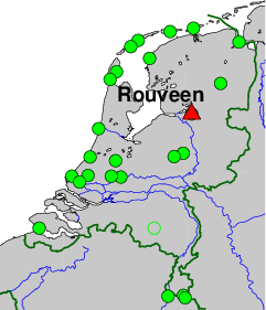
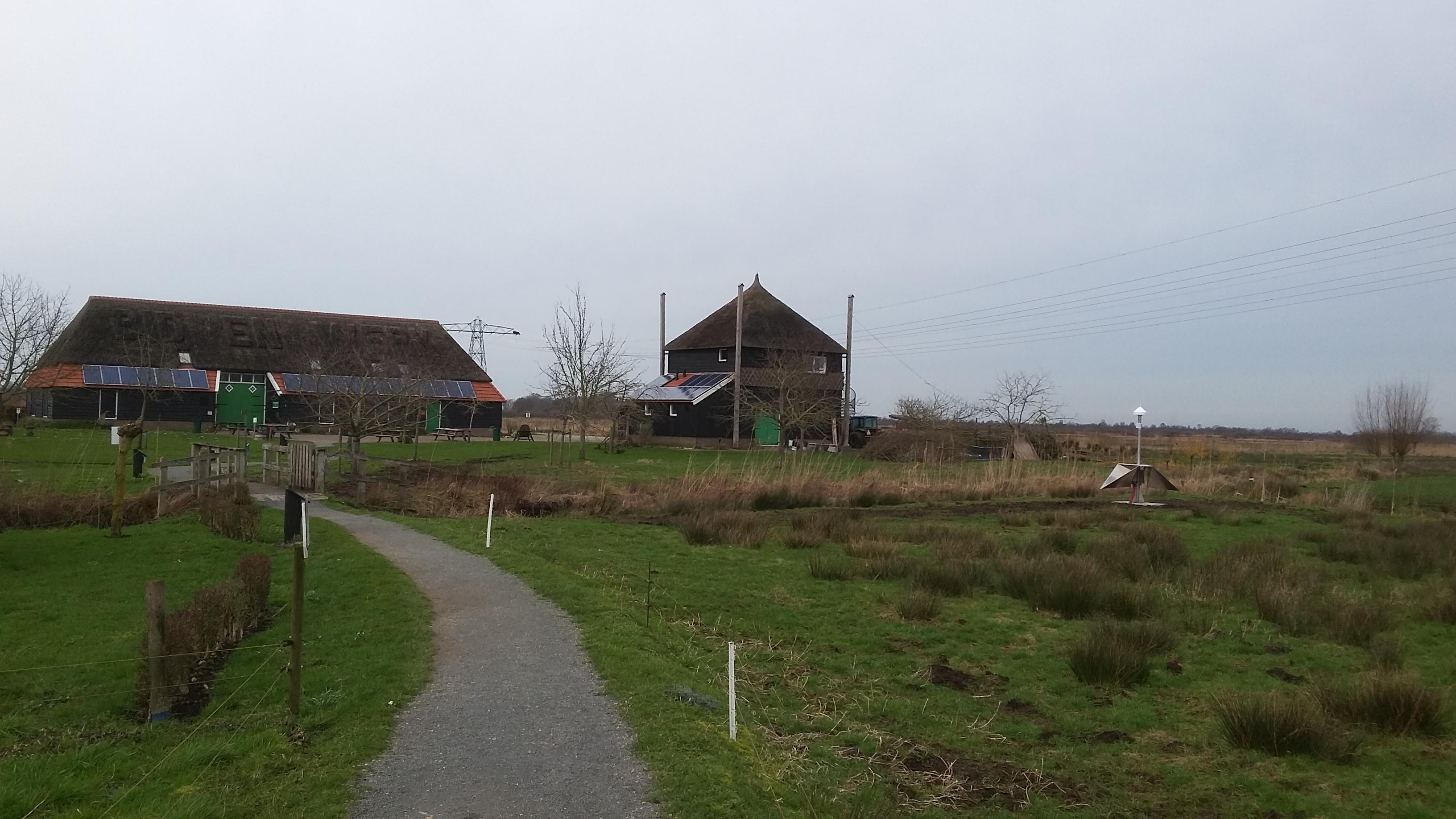
Integrated Geodetic Reference Station (IGRS), De Veldschuur, Wijkweg 2, 7954 HP Rouveen.
On-site contact: Sanneke van Asselen, Deltares
GNSS contact: Hans van der Marel, TUD/GRS
GNSS Instrument(s)
| Name | Marker | Receiver | Antenna | Operator | Network | Start date | End date |
|---|
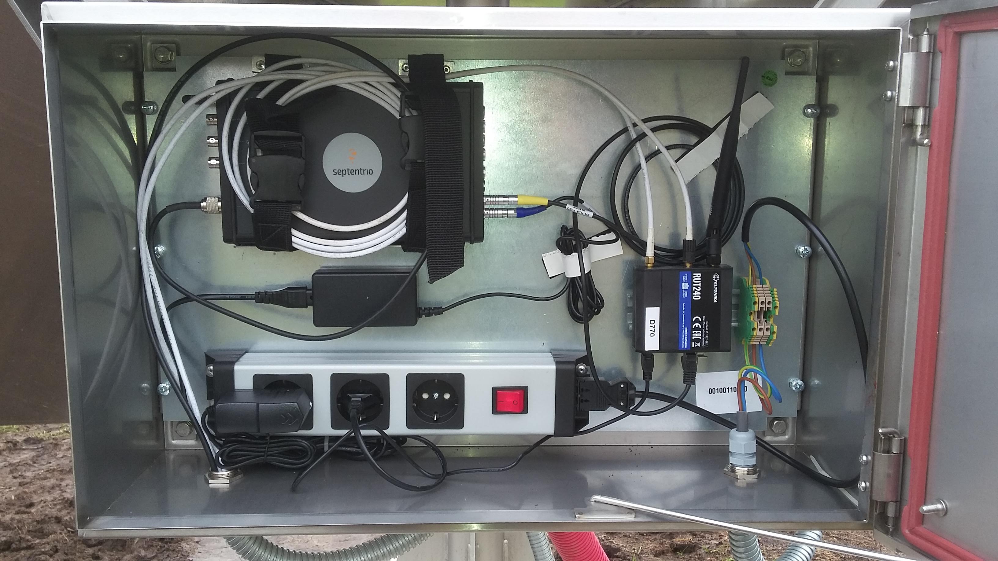
| rovn | 13544M001 | SEPT POLARX5 | SEPCHOKE_B3E6 | DELTARES | IGRS | 2020-02-28 | |
Markers
| ID | Name | dX | dY | dZ | Instruments | Installed | Removed |
|---|
| 13544M001 | TOP OF IGRS MAST | 0.0000 | 0.0000 | 0.0000 | rovn | 2020-02-28T12:00Z | |
Pictures
Active instruments
Marker ID: 13544M001
Operator: TUD/CITG/GRS
Log file:
rovn00nld_20230417.log
Receiver
| Installed | week/d doy | Removed | week/d doy | Receiver type | S/N | Firmware |
|---|
| 2020-02-28T12:00Z | 2094/5 059 | 2023-04-17T06:49Z | 2258/1 107 | SEPT POLARX5 | 3057780 | 5.3.2 |
| 2023-04-17T06:49Z | 2258/1 107 | | | SEPT POLARX5 | 3057780 | 5.5.0 |
Antenna
| Installed | week/d doy | Removed | week/d doy | Antenna type | Dome | S/N | Height | Antenna calibration |
|---|
| 2020-02-28T12:00Z | 2094/5 059 | | | SEPCHOKE_B3E6 | SPKE | 5681 | 0.0000 | |
External Frequency
| Installed | week/d doy | Removed | week/d doy | Ext. Frequency type |
|---|
| 2020-02-28T12:00Z | 2094/5 059 | | | INTERNAL |
Notes
- 2020-01-28T12:00Z 2090/2 028 -
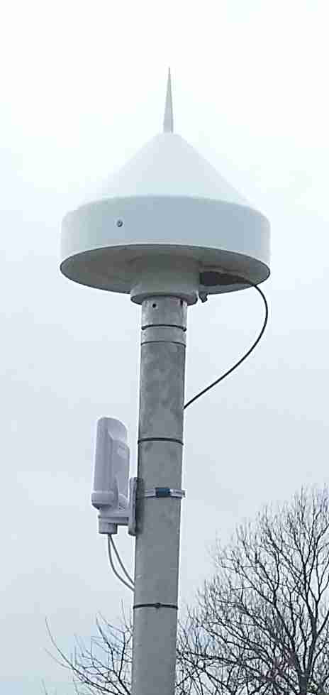
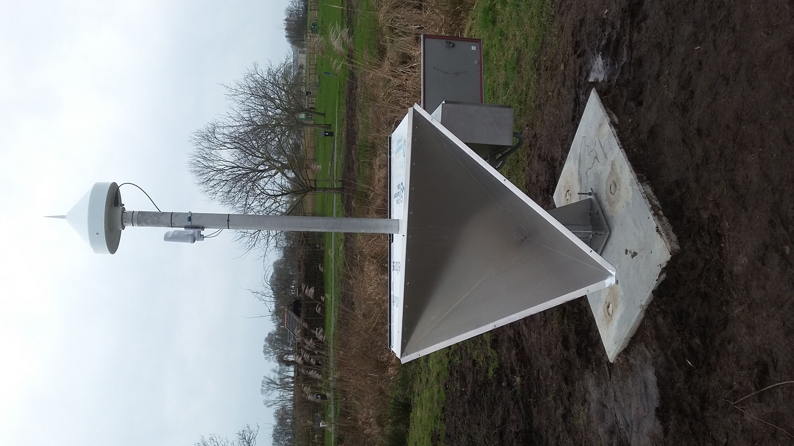
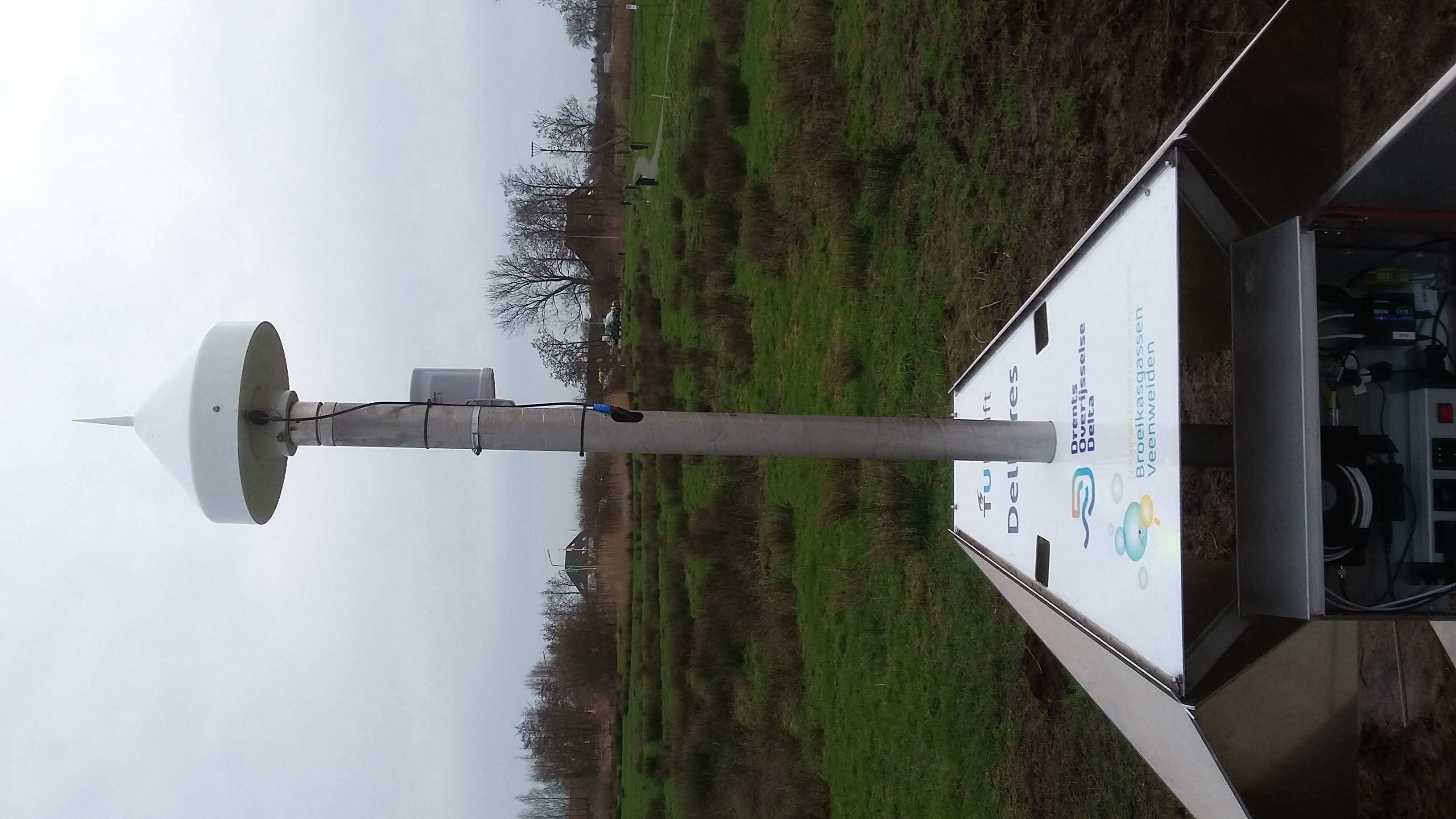
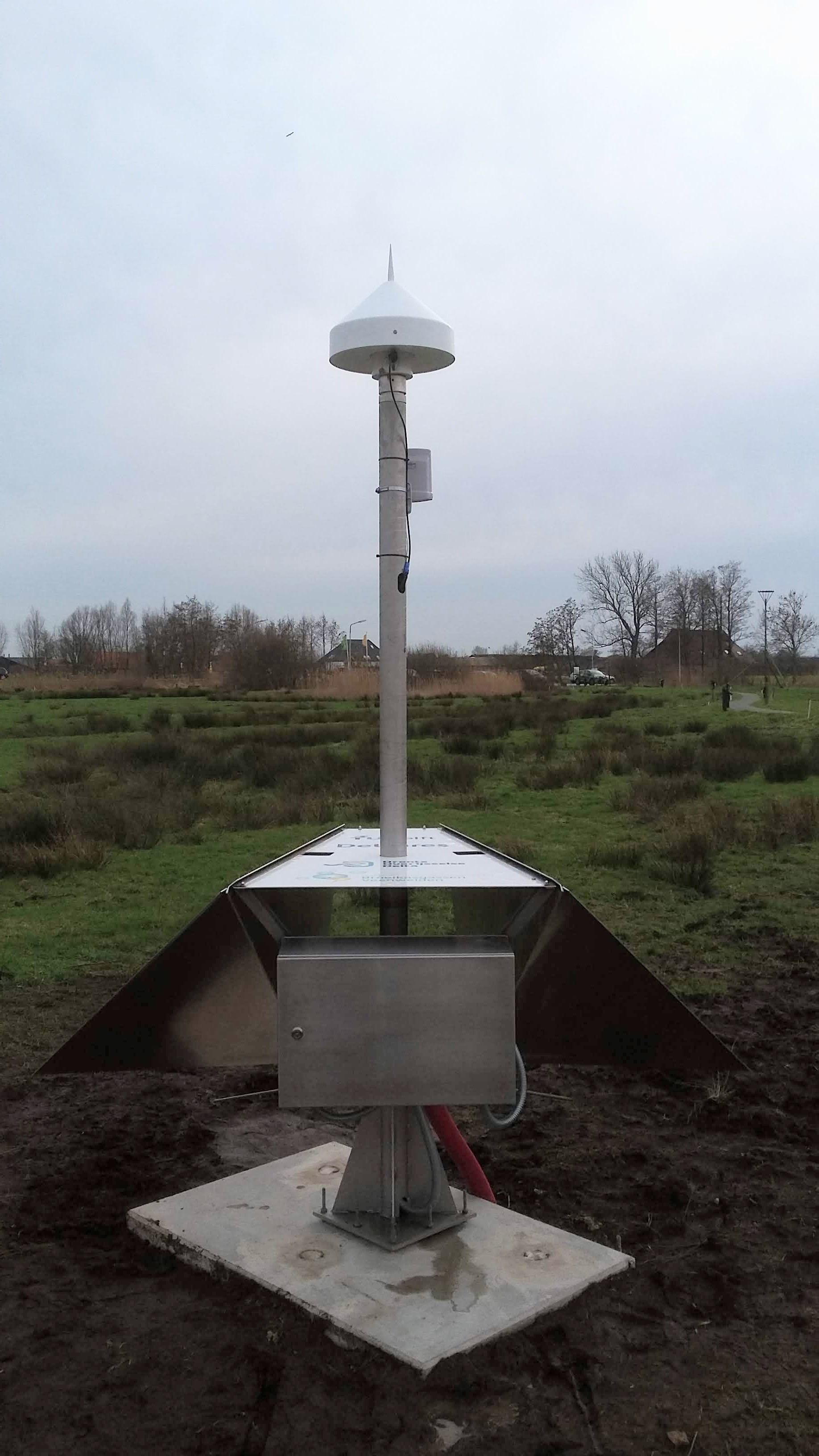
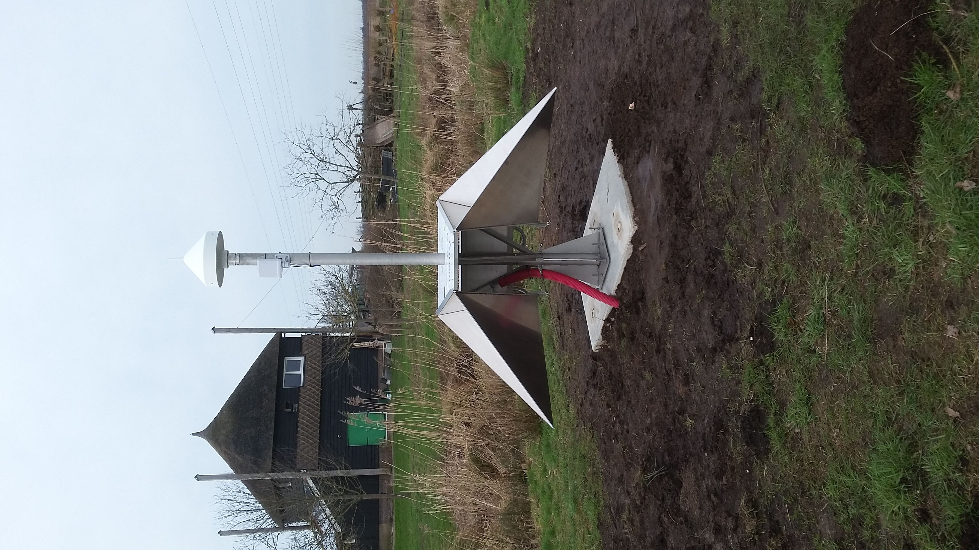
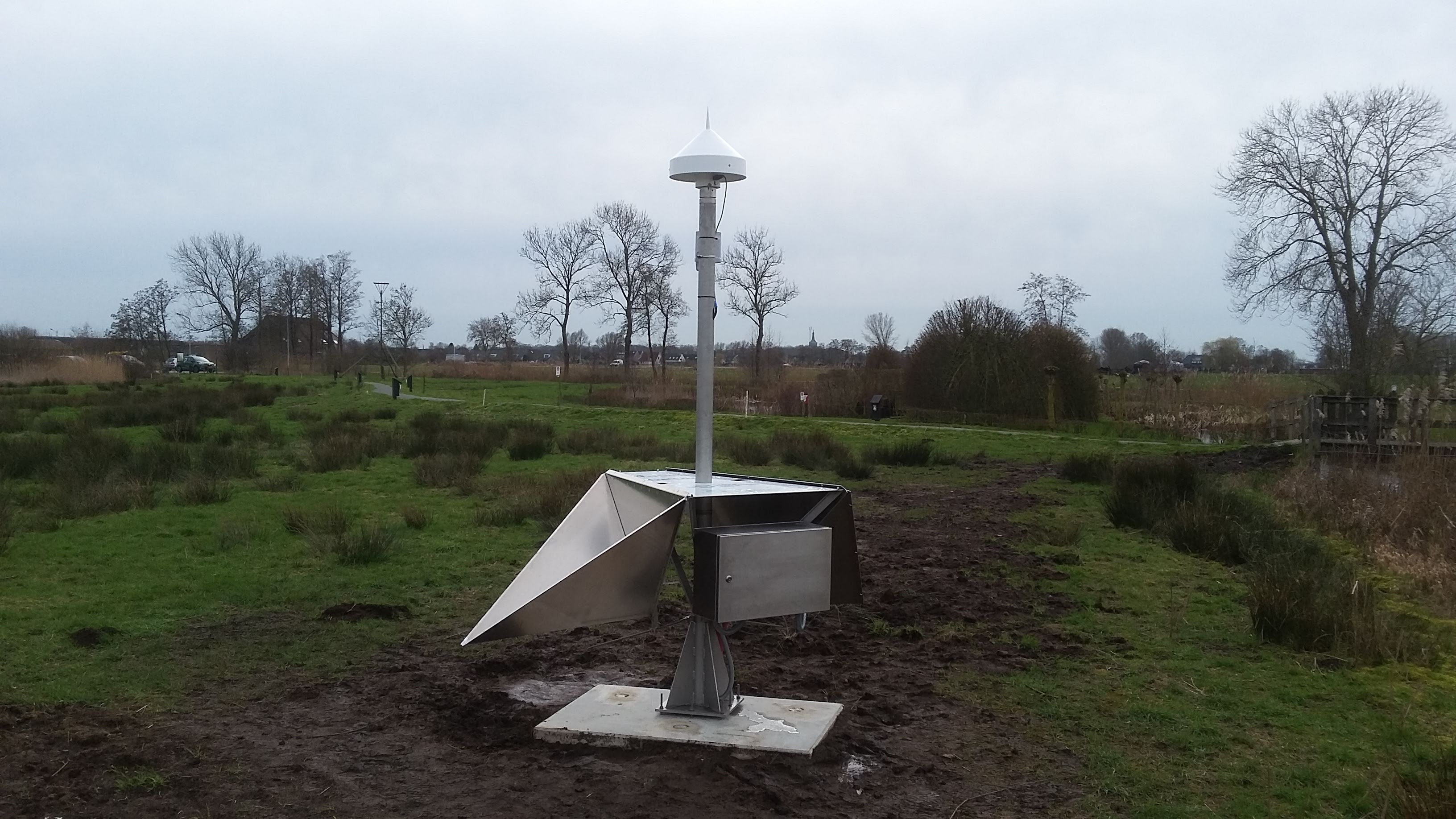
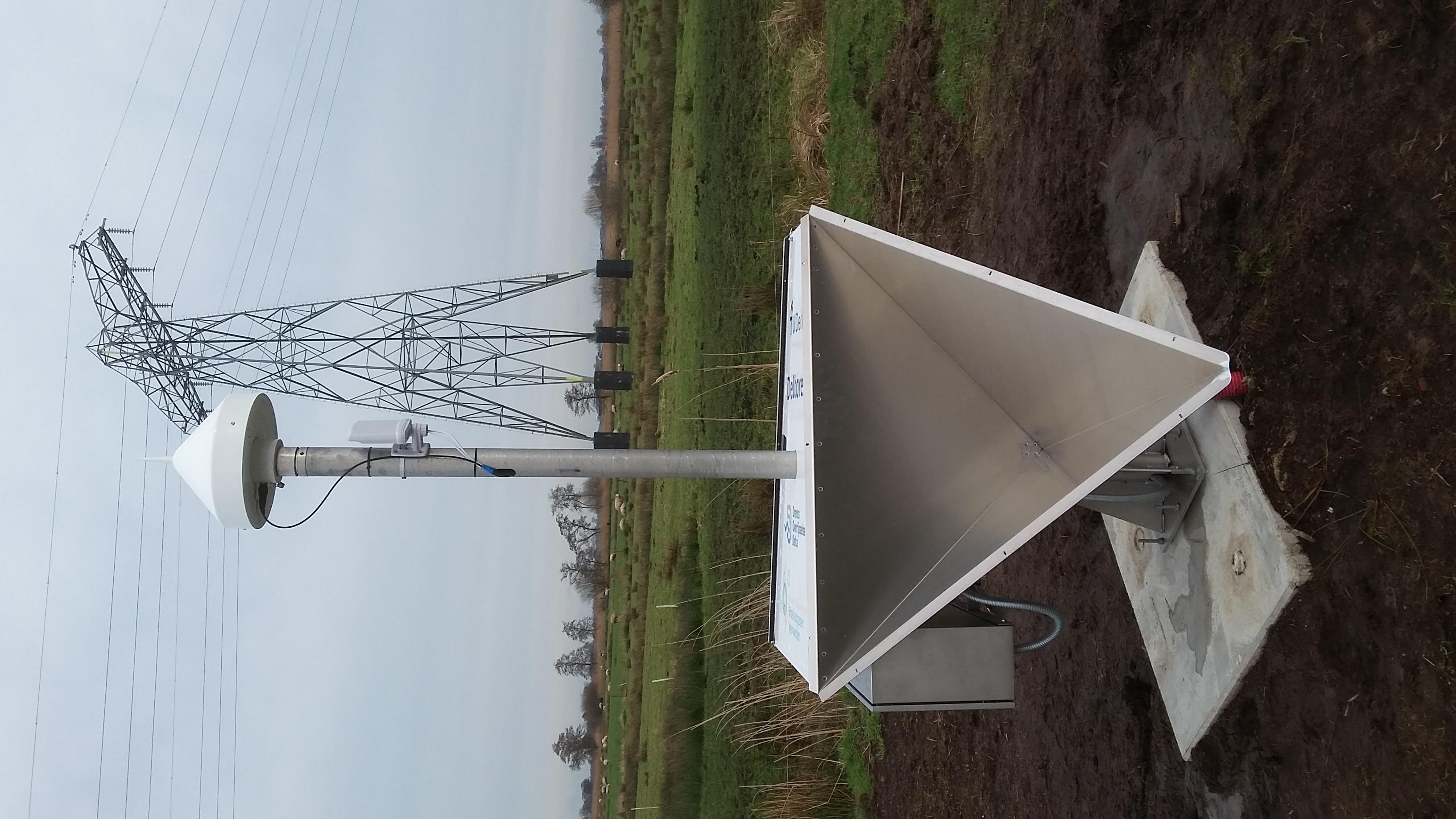
- The GNSS instrument mechanically connected to two 90 cm trihedral corner reflectors for
co-locating (In)SAR ascending and descending radar observations. The GNSS monument
itself consists of a SECO mount, on top of a 2.5 m heigh 8 cm diameter stainless steel
pipe, with a 35 cm square strudded footplate. On each side, a 90 cm corner reflector for
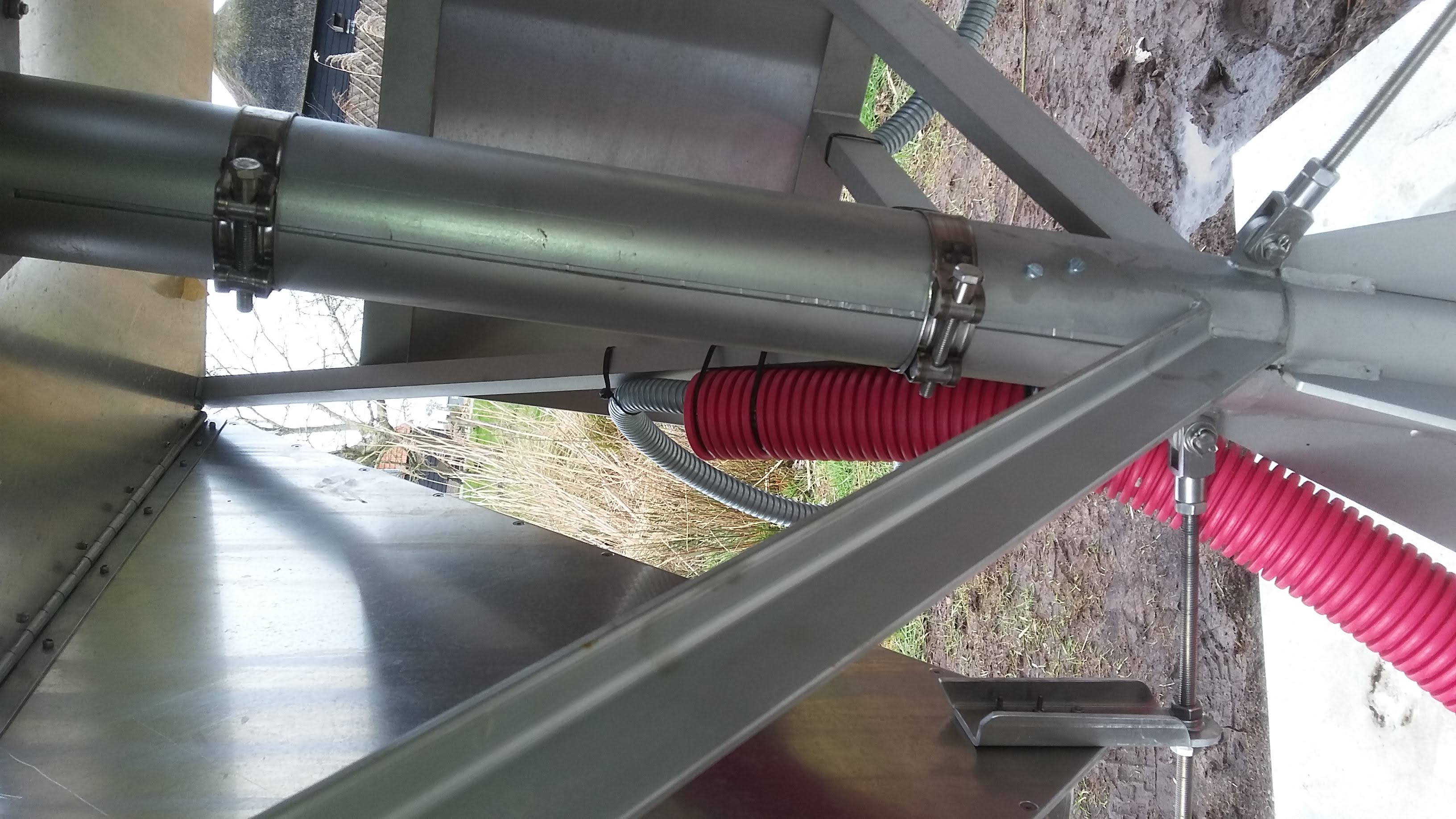
ascending and descending InSAR tracks is attached. 1.416 m below the GNSS monument a
GCP for LIDAR measurements (the top plate of the IGRS) is present. The whole assembly
is mounted on a concrete block fixed to 3 steel/grouted XX m long foundation piles to
sub-surface sand deposit. On top of the sand layer is a XX m peat toplayer.
The top plate of the IGRS is 1.101 meter above the concrete block, the GNSS monument
is 1.416 m above the top-plate (LIDAR GCP).
- 2020-01-15T10:00Z 2088/3 015 - 2020-01-21T11:00Z 2089/2 021
- The IGRS was mounted on the concrete plate, but the orientation of the corner reflectors was 90
degrees off. InSAR data for the CR is not reliable for this period.
- 2020-01-21T11:00Z 2089/2 021 - 2020-01-28T12:00Z 2090/2 028
- The receiver was installed and antenna was mounted directly to the pole, but without SECO mount.
The corner reflectors were oriented approximately, but the final orientation was not done until Feb.
28, 2020. GNSS measurements for this period have been deleted. InSAR data for the CR is not
reliable for this period.
For more information contact Hans van der Marel.
